AccessMap
Goals
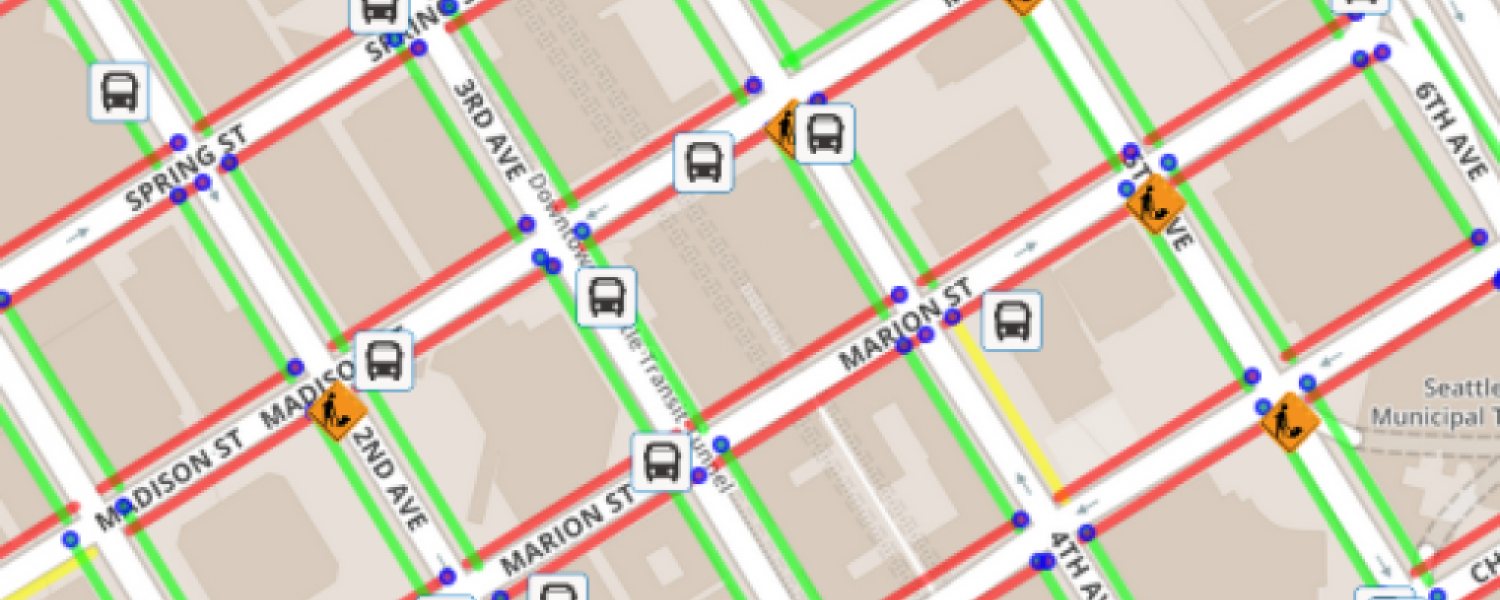
The AccessMap team is creating a mapping application that displays a variety of potential obstacles for people with limited mobility. The application incorporates mapping, elevation, sidewalk, construction, elevator location, and bus route data into a single interface for route planning. The application indicates the location of bus stops, elevators, and curb ramps, evaluates the slope of sections of sidewalk, and flags sidewalk closures due to construction.
Issues
The AccessMap team is developing a user experience and interface for individuals with limited mobility, aggregating multiple data sources, and developing a multi-obstacle path planning system.
Tools and Methods
Machine learning
Geographic information system
User experience and user interface
Application development (iOS and Android)
Desired Majors
Computer Science and Engineering
Human Centered Design and Engineering
Prep
Interest and/or expertise in computer science, computer engineering, electrical engineering, human centered design, informatics, communications, and public relations